Green Infrastructure Strategy – Colne and Crane Valleys
The Colne Valley Regional Park covers 10 Local Planning Authorities (councils) and this makes it rare that the Valley is considered at a landscape scale.
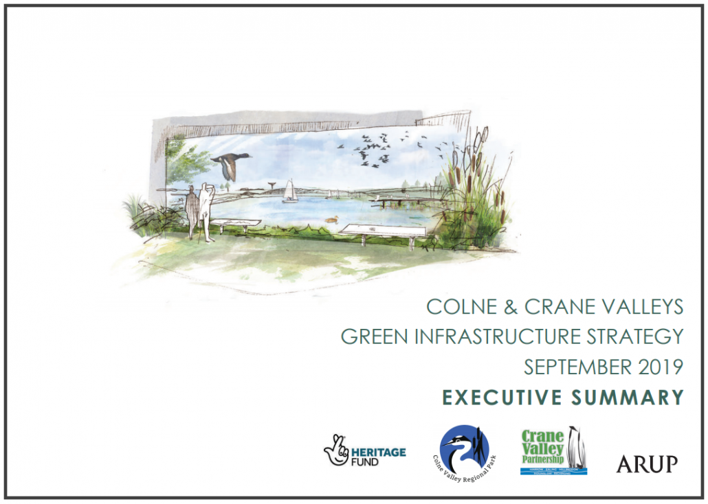
The creation of a Green Infrastructure Strategy for the Colne Valley Regional Park aimed to bring the Green and Blue on the map to the forefront in planning decisions and feature the landscape of the Valley as a whole rather than the council boundaries which don’t exist as real barriers to people and wildlife. In addition the Crane Valley has been added to this strategy in order to truly provide a landscape picture of the area.
Led by ARUP Landscape Consultants Local Interest Groups, Local Authorities, Wildlife Trusts, National Groups like the Environment Agency and many others, have got together at a series of workshops to inform this plan. They have discussed aspirations they have for the open spaces and the rivers and lakes, how these link for both wildlife and people and how they could be improved. These ideas have been drafted onto the maps of the area.
The resultant comprehensive document of maps and appendices is now available from the links above: for use by planning experts and local associations to be incorporated into planning decisions, local neighbourhood plans and anyone making a decision about changes in the local area.
Hopefully it will make it easier to consider the green infrastructure in its entirety and to take into account the way that spaces link together both for people and wildlife.
Interactive Map
An interactive map is also available which allows you to zoom into the detail and view the description of individual projects. There is also a feedback form on the map if you would like to update a project or suggest new ones. The map will be updated at intervals, approximately quarterly.
The strategy has been recognised by the Landscape Institute and has been shortlisted for their 2019 awards.
News updates:
Green Infrastructure strategy launched


