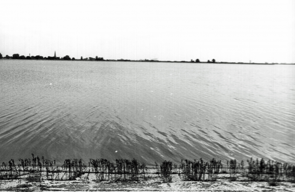
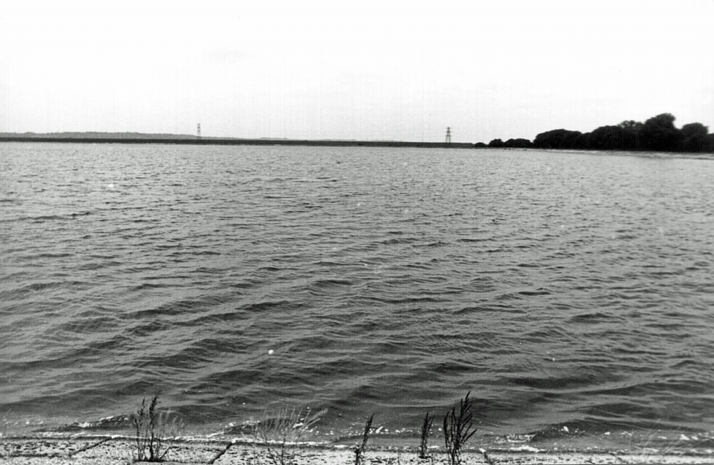
Access to the reservoir was not possible. The 1982 photograph was taken from the path that is around the top of the reservoir. The closest point that this 2015 viewpoint could be reached was at map Reference TQ 050 742.
Location
TQ 050 740
51° 27' 18.9108" N
0° 29' 24.6660" W
north
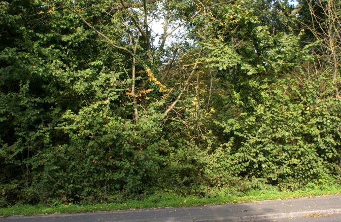
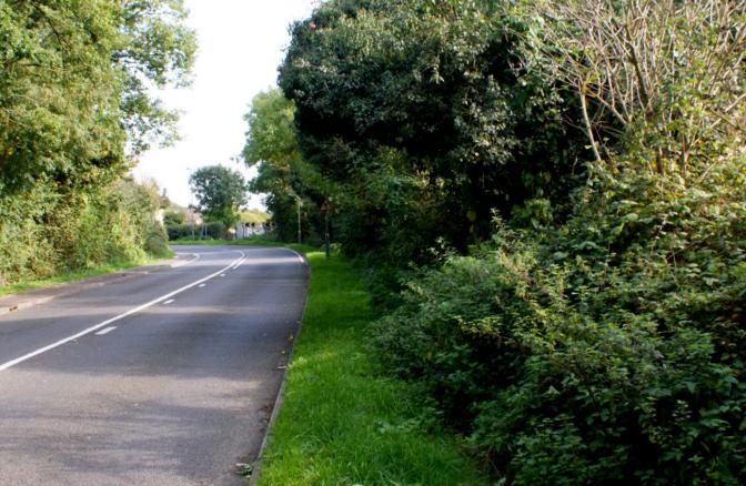
Year Taken: 2015
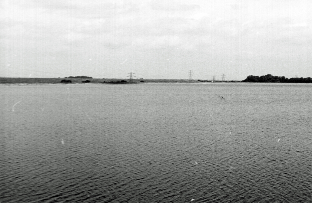
Year Taken: 1982
south
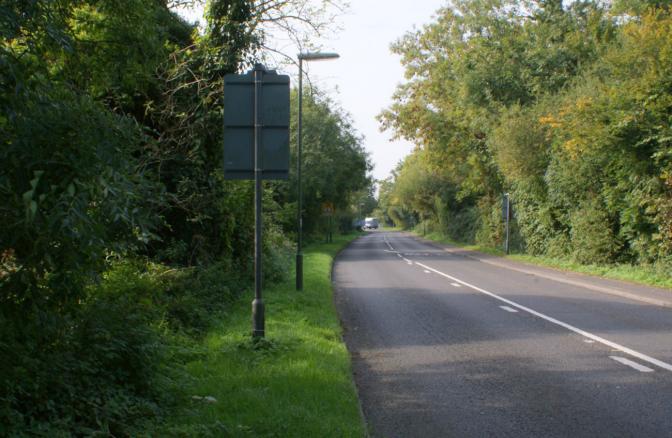
Year Taken: 2015
Year Taken: 1982
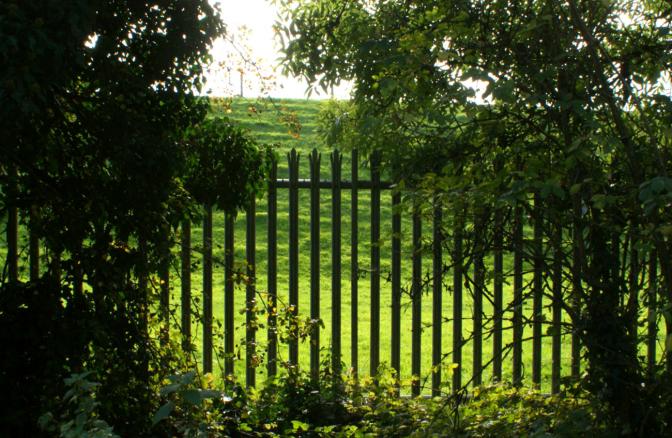
east
Year Taken: 2015
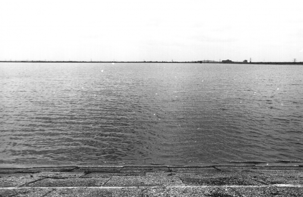
Year Taken: 1982
west
Year Taken: 2015
Year Taken: 1982