These photographs were taken courtesy of the Datchet Water Sailing Club Ltd who had an open day, and obtained permission for the path around the Queen Mother Reservoir to be opened to the public.
Location
TQ 010 760
51° 28' 26.2488" N
0° 32' 49.7868" W
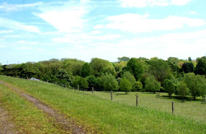
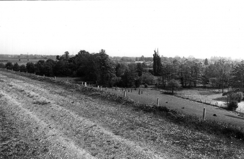
north
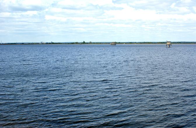
Year Taken: 2015
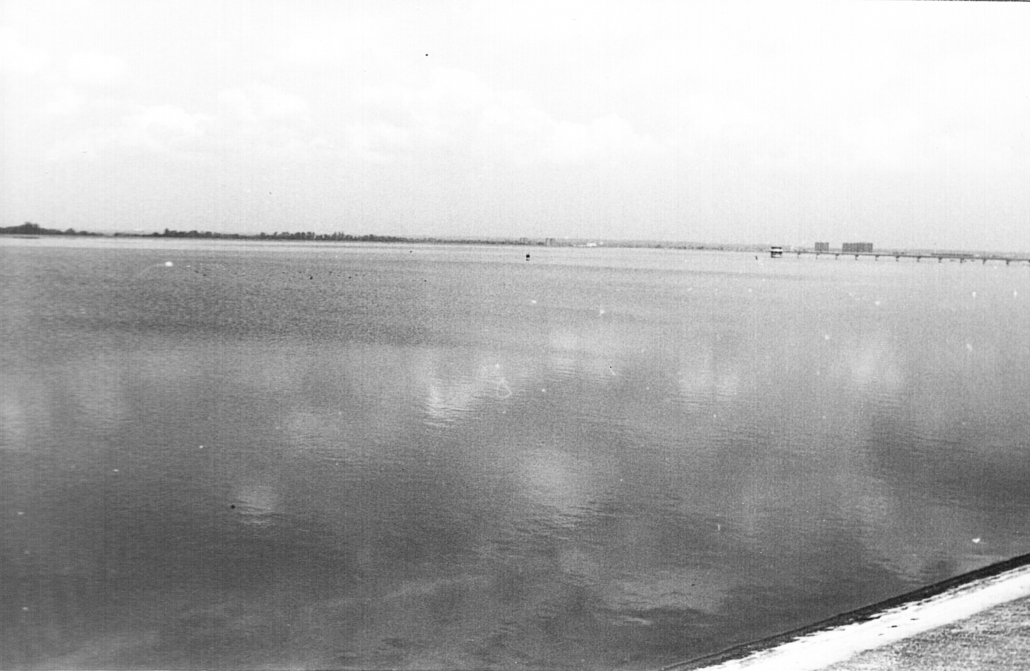
Year Taken: 1982
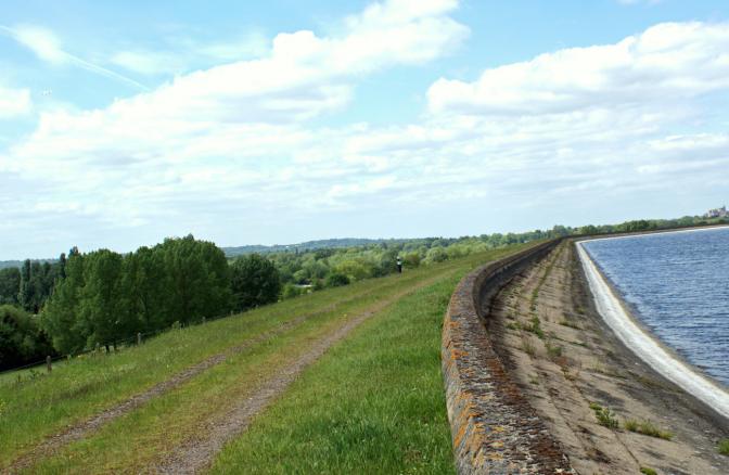
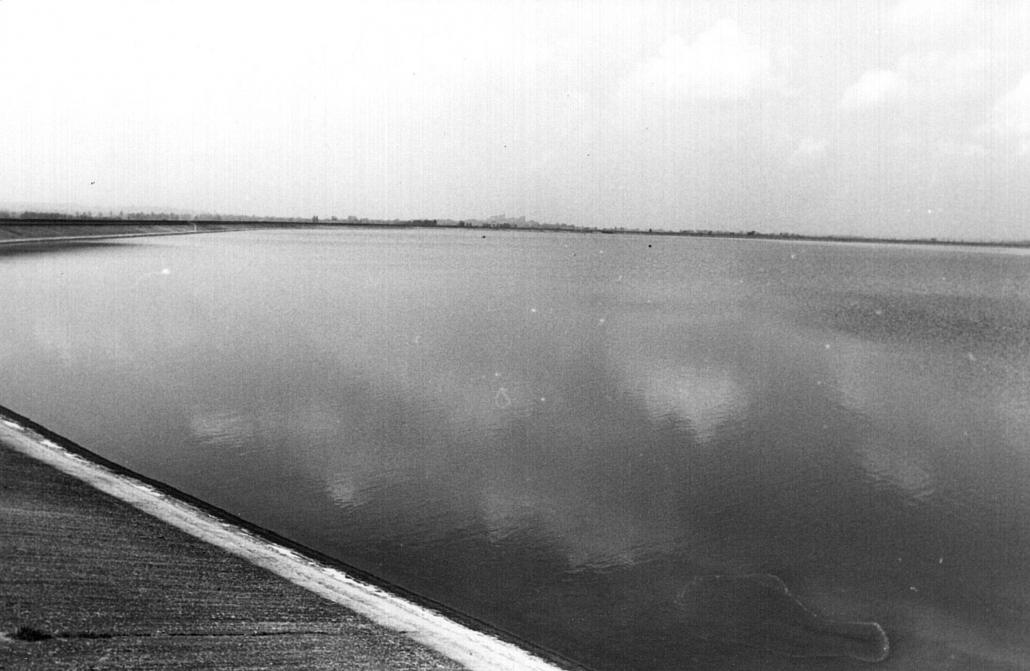
south
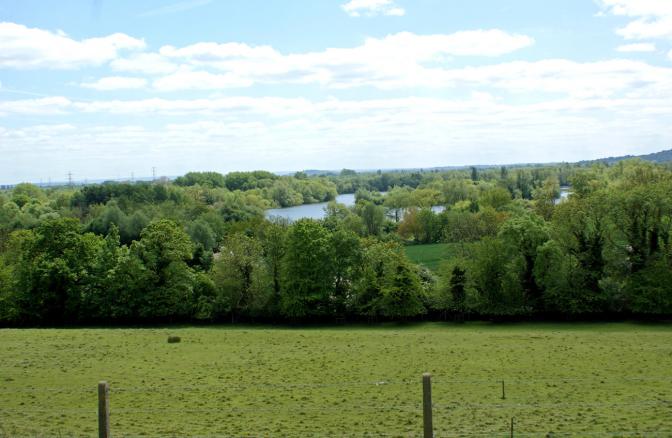
Year Taken: 2015
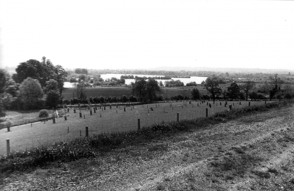
Year Taken: 1982
east
Year Taken: 2015
Year Taken: 1982
west
Year Taken: 2015
Year Taken: 1982