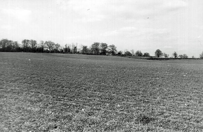
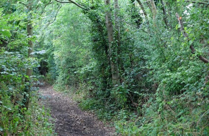
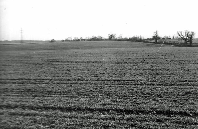
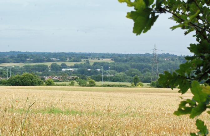
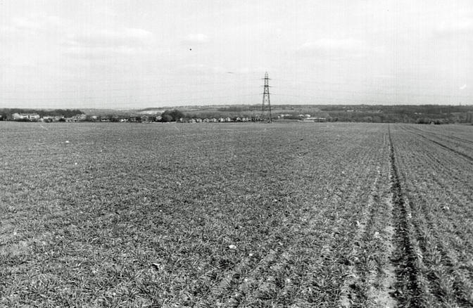
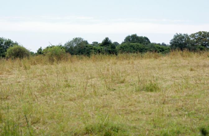
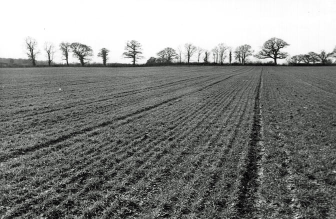
Near Shire Lane. TQ 020 920
The closest point accessible was registered at TQ 018 921. The actual point was in the centre of a field of unharvested cereal crop so the photograph was taken from a public footpath which gave a clear view across the field, whilst respecting the landowners right of security.
Location
TQ 020 920
51° 37' 3.3348" N
0° 31' 41.2932" W
north
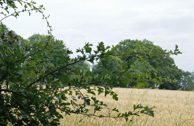
Year Taken: 2014
Year Taken: 1982
south
Year Taken: 2014
Year Taken: 1982
east
Year Taken: 2014
Year Taken: 1982
west
Year Taken: 2014
Year Taken: 1982