Linking Roads, Road Users, and The Environment: Beyond the Roadside Verge
Landscape Recovery Case Study
Thanks to funding from the Reese Jeffrey Road Fund, the Colne Valley Park Team have been able to improve access for road users and encourage them to explore beyond the roadside verge thanks to new interpretation boards.
The aim of this project was to improve the engagement of motorists with the Colne Valley Regional Park. The Colne Valley Regional Park is a 43-square mile area of countryside just west of London, and is an essential piece of green space for the 3 million people who live within 10 miles of the park. However, the interface between the road and countryside in some areas of the park is poor and this can prevent road users from accessing the benefits of the park. This project identified 3 areas in need of improvement and carried out work to address issues at each site.
Site 1: The A413 lay-bay
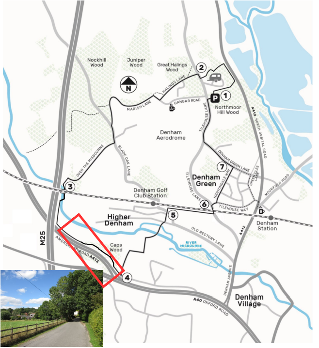
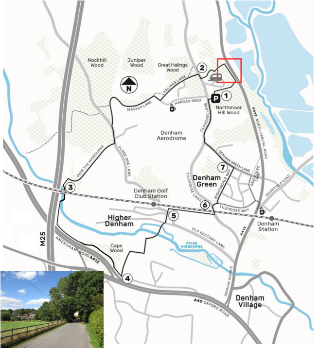
The A413 runs from Denham, west of London, to Towcester, north of Milton Keynes. The lay-by focused on, (Map 1) is west of Higher Denham and is used heavily by drivers. From this lay-by 2 circular walks can be undertaken which take walkers through some local ancient woodlands.
Issues on site
- Damaged road surface with a large number of potholes
- Parked trucks blocking access to public bridleway GEC/24/1
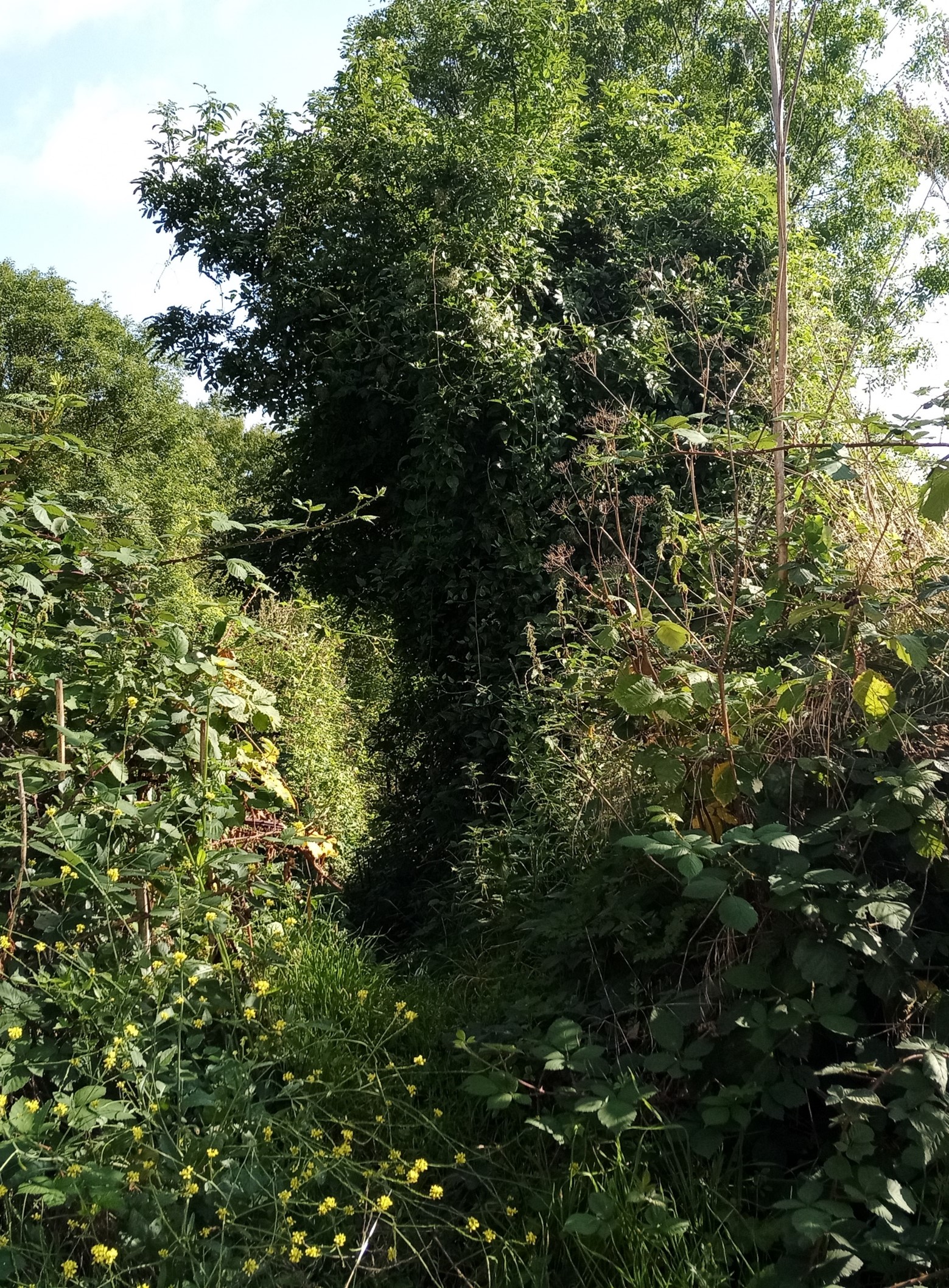
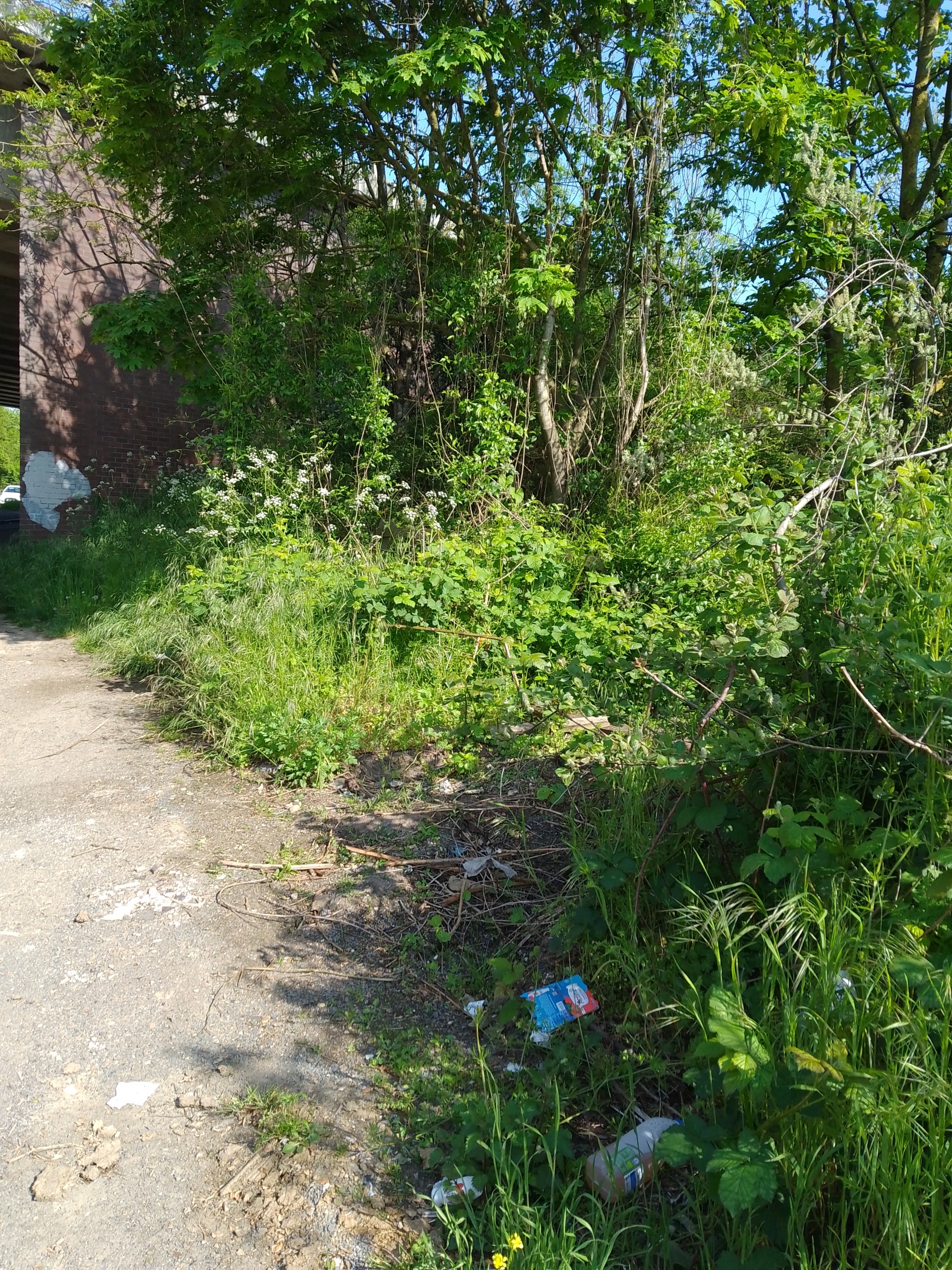
- Public bridleway GEC/24/1 was very overgrown with lots of litter surrounding the entrance making it unappealing to users
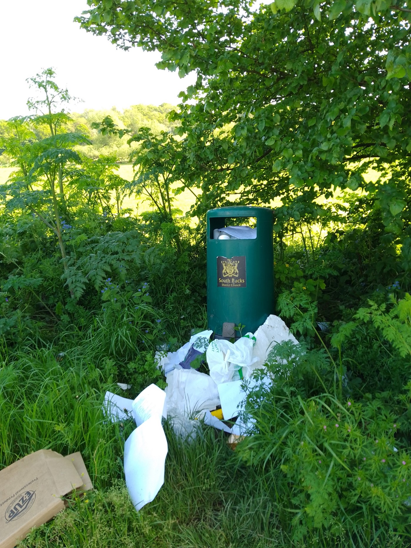
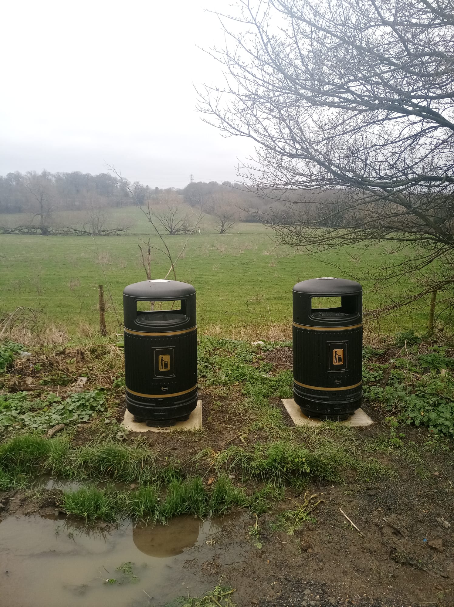
- Fly-tip and litter was common in the lay-by with only 1 bin available for rubbish
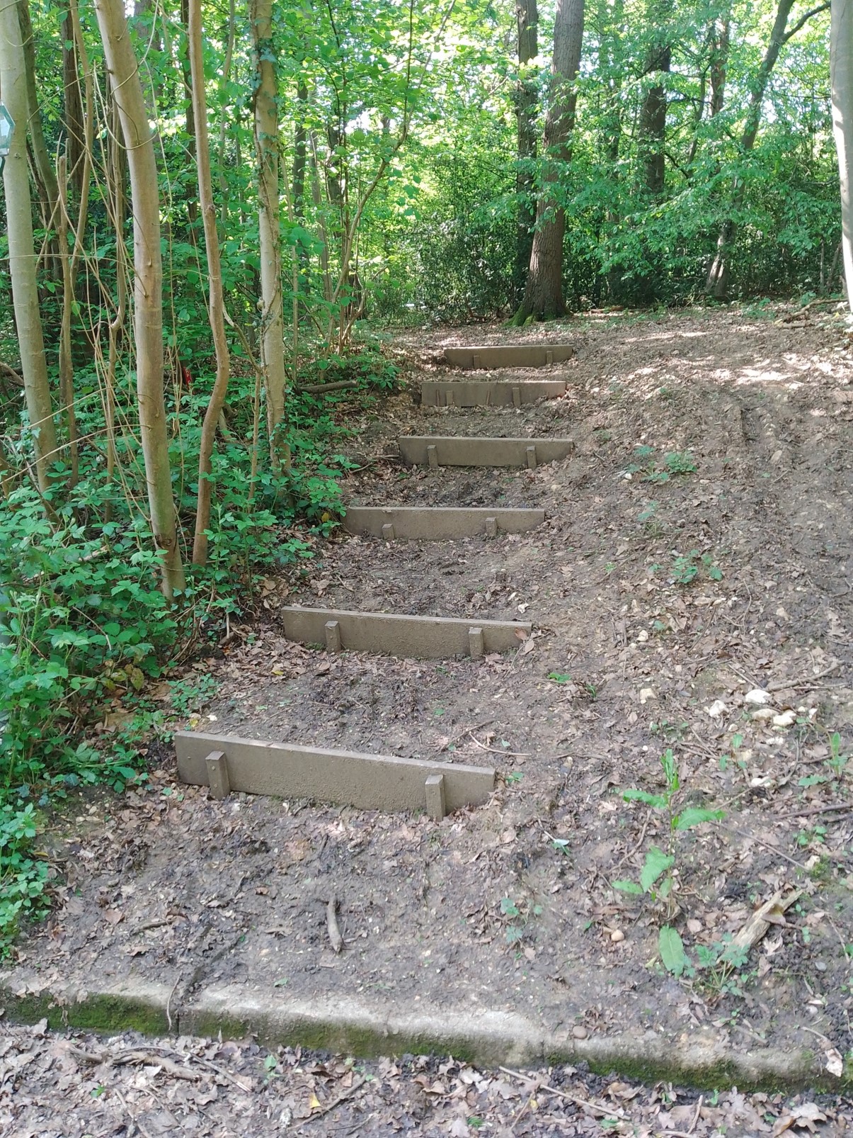
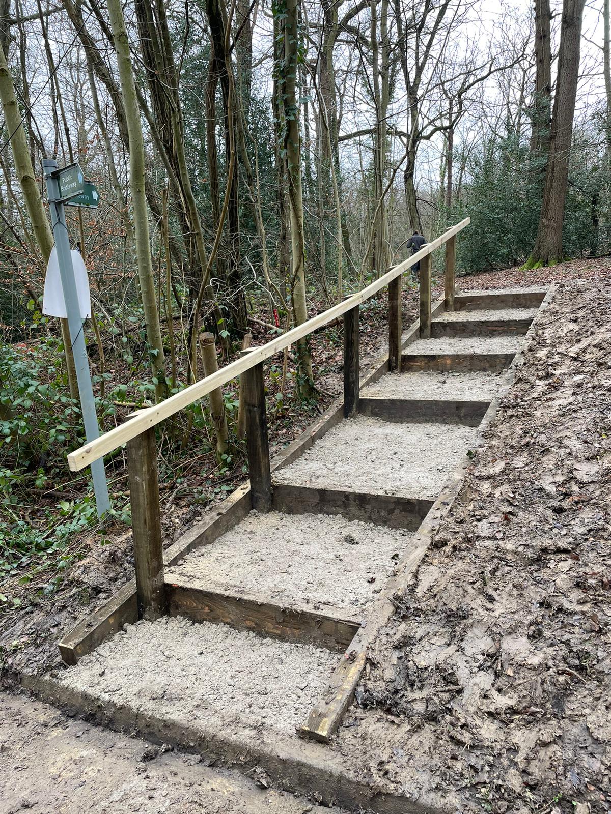
- The steps leading to public bridleway DEN/55/1 were misaligned, muddy, and potentially hazardous for users
Improvements made to site
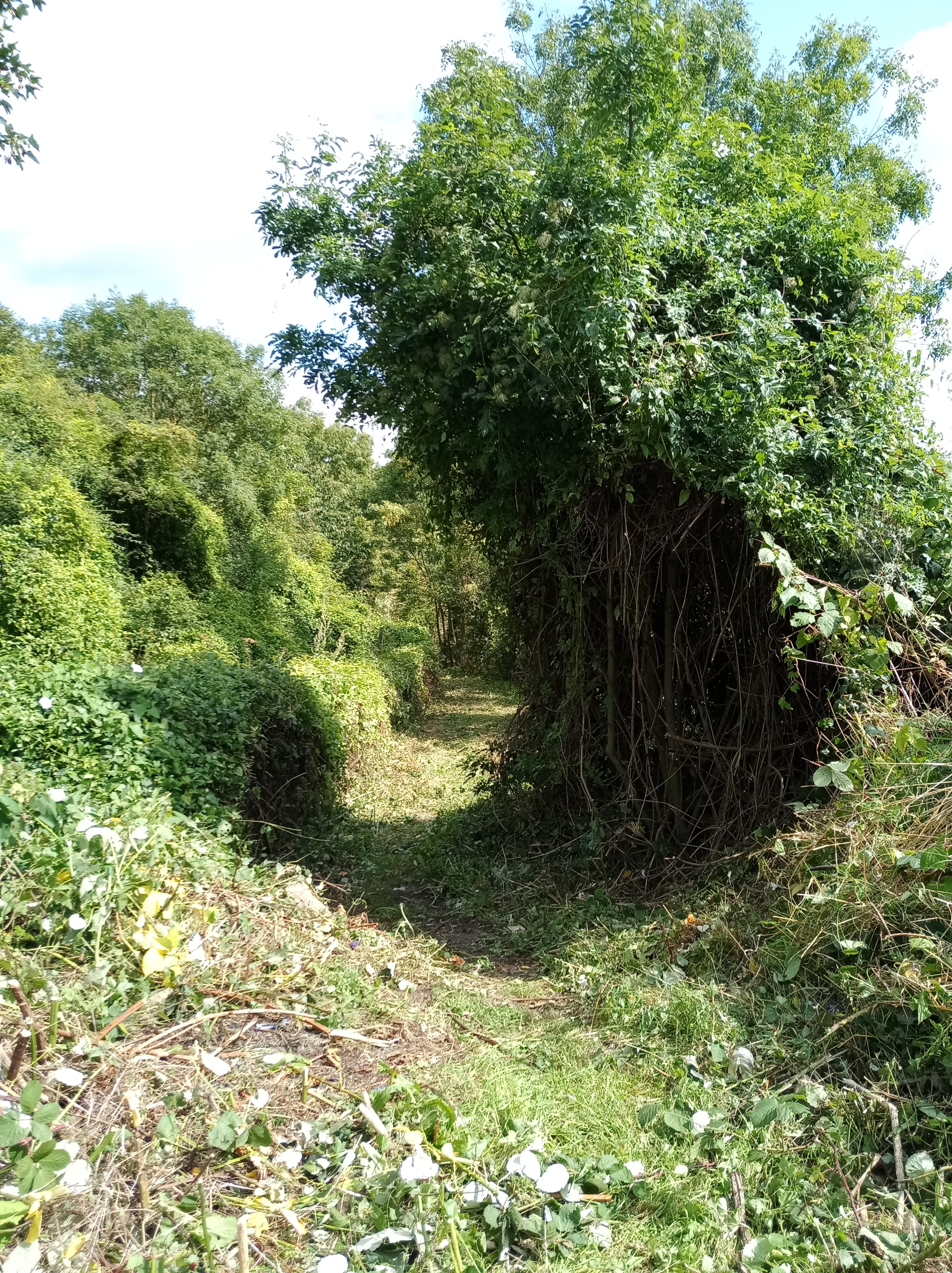
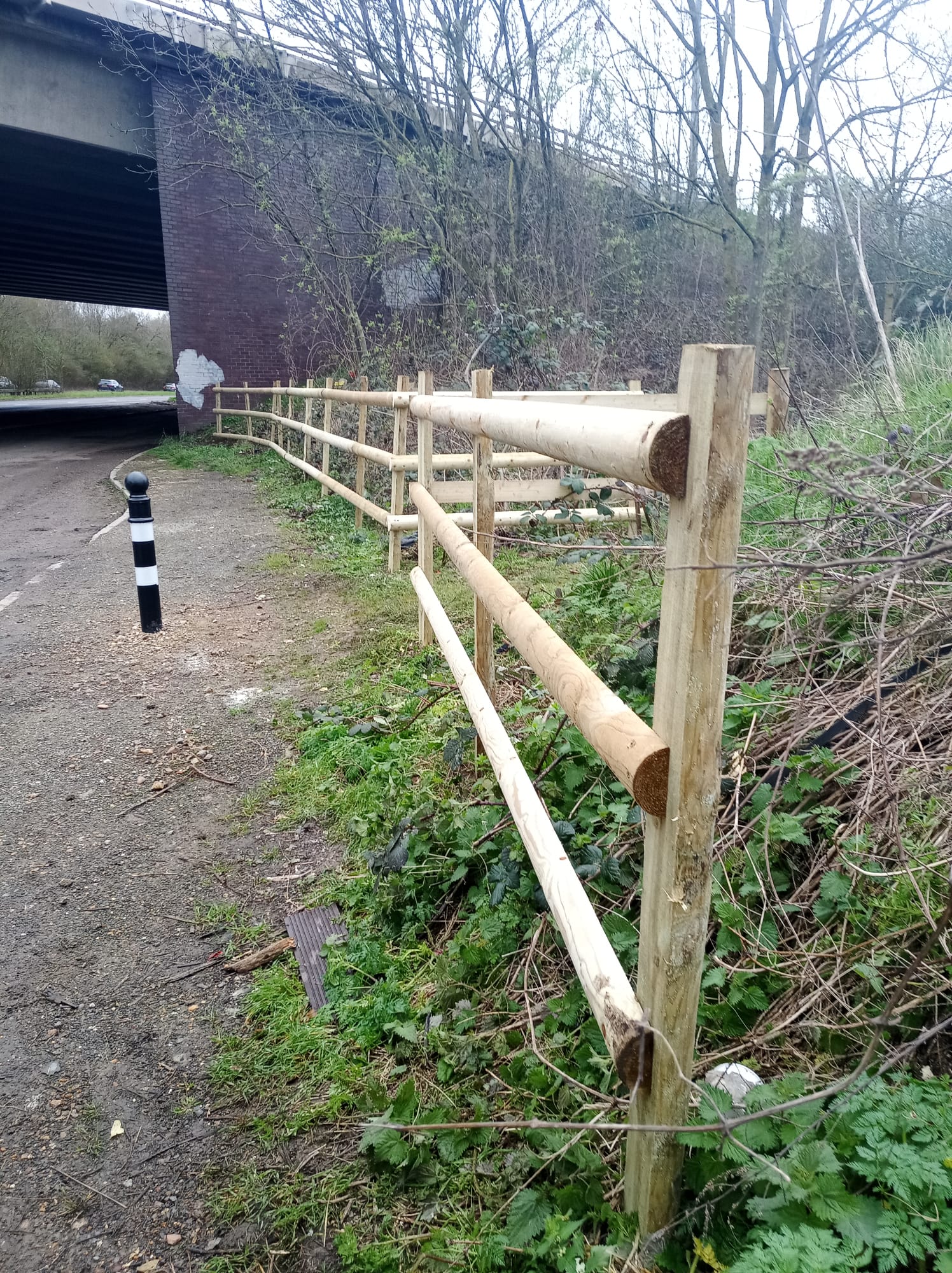
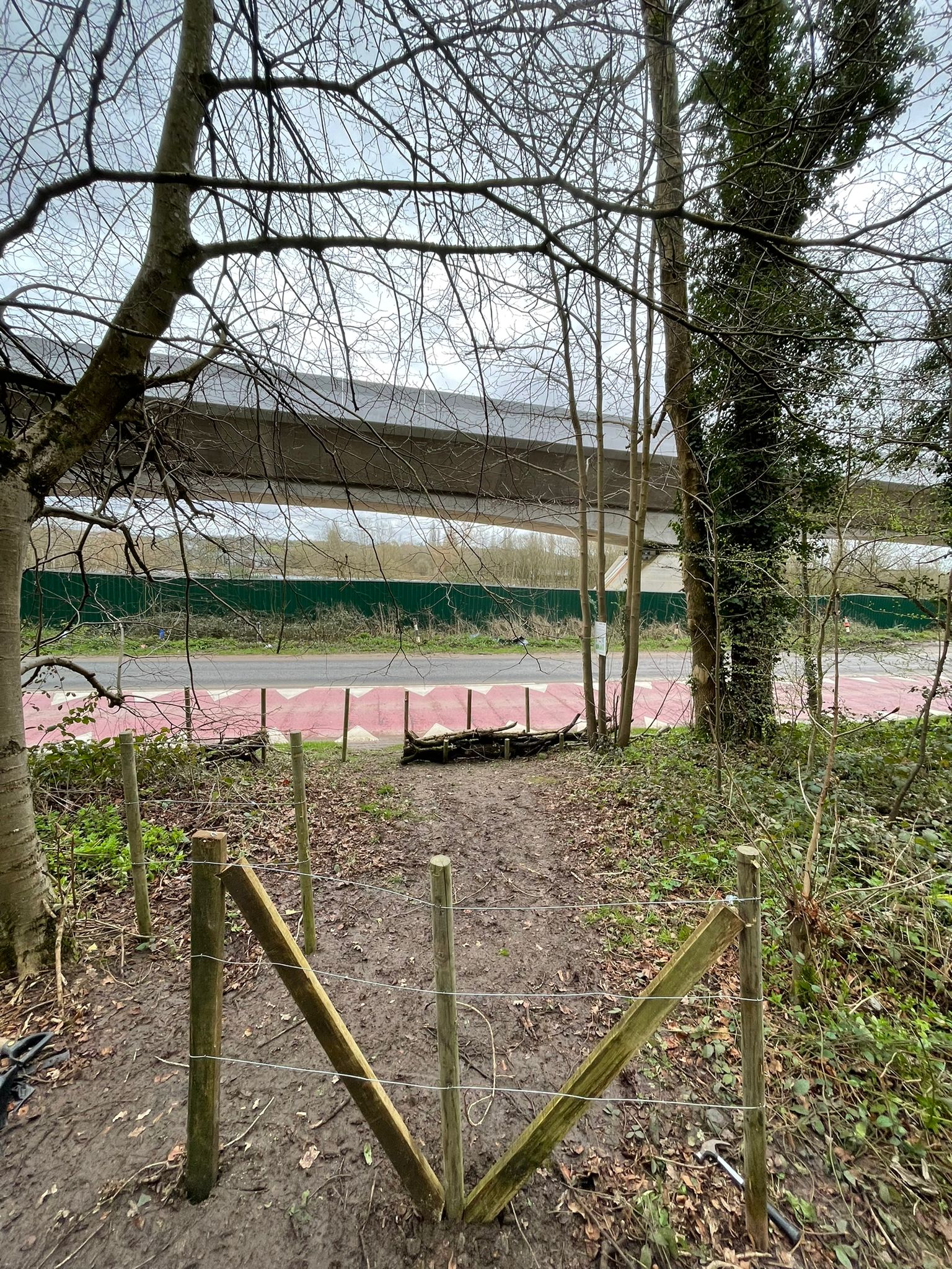
Public bridleway GEC/24/1 was cut, and a bollard and fencing were installed at the entrance to improve the appearance and prevent vehicles blocking access. In addition an information board with details of the local circular walk was installed. Buckinghamshire Council Highways Team have also agreed to resurface this lay-by and have submitted an internal job.
Location of lay-by on A413 marked with a red box. Denham Woods circular walk
Before
Before
Before
After
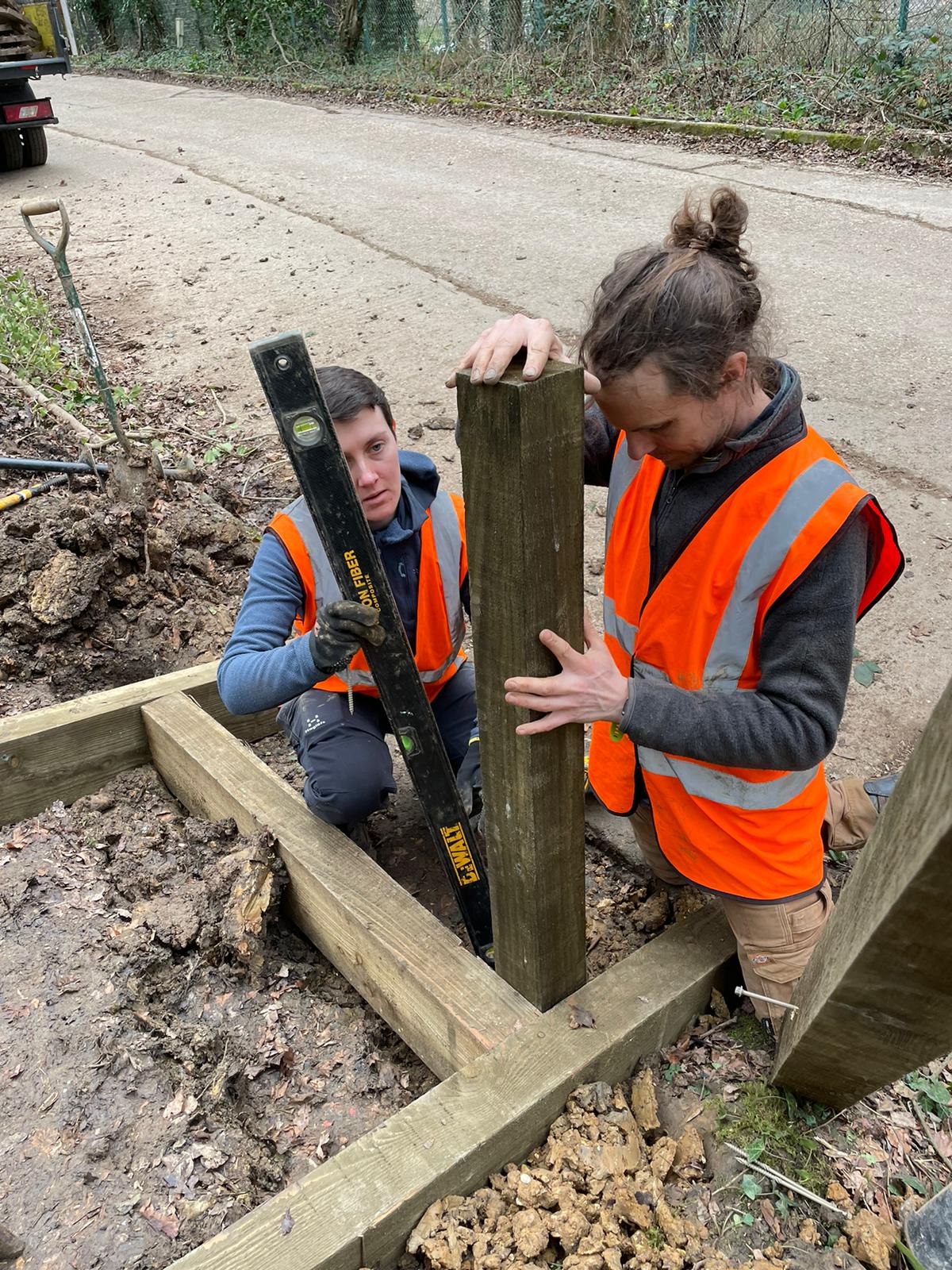
Installation of new steps at the entrance of public bridleway DEN/55/1 to improve access. We worked with Buckinghamshire Council to replace the bin with 2 new bins to prevent littering, and also to remove fly-tip present in the lay-by.
Before
After
Before
After
Site 2: The A412 lay-by
The A412 connects Slough and Watford. The lay-by focused on is near Northmoor Hill Woodland, and there is a public footpath leading from this site into the woodland (Map 2). The public right of way at this location is Denham bridleway 38 (DEN/38/1).
Map 2: Location of layby on A412 marked with a red box.
Issues on site
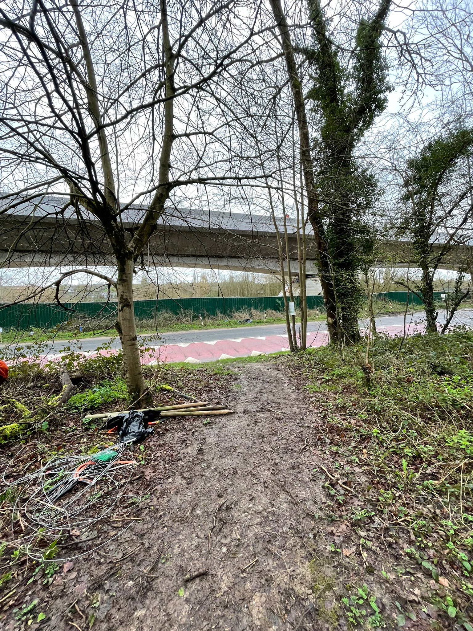
- The footpath entrance here is wide, enabling vehicles to access and fly-tip
- There is a build up of litter in this area
Improvements made to site
Fencing was installed to prevent vehicles accessing the site and fly-tipping. A litter pick was also conducted in this area to improve the appearance.
Location of lay-by on A413 marked with a red box.
Before
After
Site 3: Harefield Road
Harefield Road is located in Rickmansworth and a section of this road, approximately 0.25 miles, is part of the 5-mile Harefield and Batchworth Heights circular walk.
Issues on site
The stretch of the Harefield and Batchworth Heights circular walk that requires walking 0.25 miles along Harefield Road is dangerous for both walkers and drivers as it is a national speed limit road with no pavement.
Efforts to re-route path
In an attempt to make this walk safer for pedestrians and drivers, enquires were made to re-route the path, with multiple options considered.
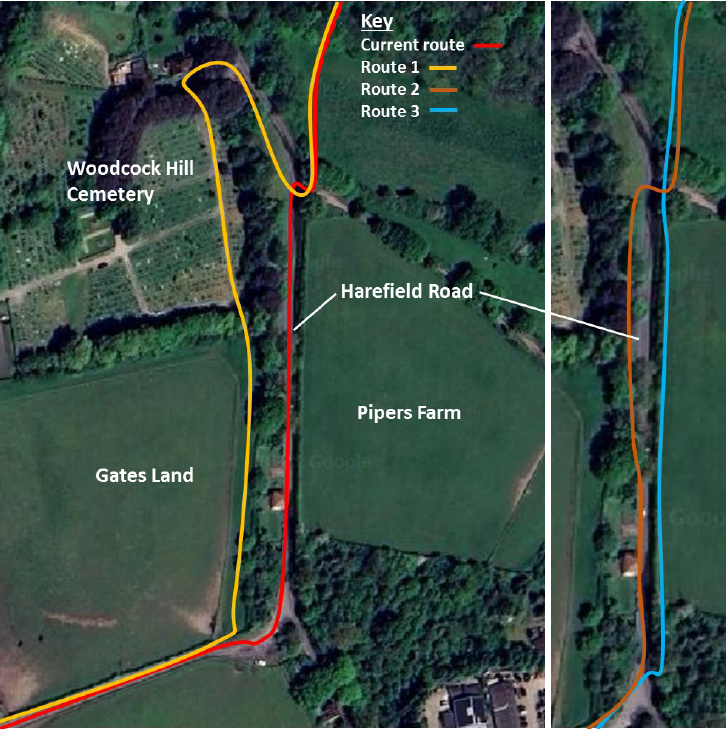
1. Initially, route 1 was considered in which walkers would navigate alongside a field on Gates Land and then through Woodcock Hill Cemetery. However, after meeting with a number of representatives from Three Rivers District Council (TRDC) it was decided that this was not appropriate as walkers may disrupt people using the cemetery.
2. A second route was considered which would have involved cutting back verge-side vegetation to create a pathway for walkers alongside the road. After a site visit with representatives from TRDC it was agreed that their grounds maintenance team would cut back vegetation along the verge, upon approval from Hertfordshire County Council (HCC) who own the land. Unfortunately, HCC did not approve this work owing to safety concerns.
Ariel view of Harefield Road and surrounding area with different routes marked in different colours. The second image on the right is a close-up of Harefield Road to provide greater clarity for routes 2 and 3.
3. We are currently investigating a third potential pathway on the opposite side of Harefield Road running parallel to Pipers Farm which would be off the road and behind a hedgerow. We are in the process of identifying who owns this land to begin talks on the possibility of a permissive footpath.
Issues on site
The stretch of the Harefield and Batchworth Heights circular walk that requires walking 0.25 miles along Harefield Road is dangerous for both walkers and drivers as it is a national speed limit road with no pavement.
