Near Chalfont Park. TQ 010 890.
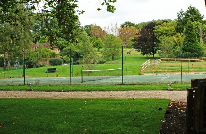
The 2014 photographs were taken at map Ref: TQ 011 889 approximately 68 metres from the actual grid point intended. The owner of the land where the photograph should have been taken was unavailable. However a neighbouring land owner kindly allowed us access onto his property, and this series of photographs were taken from the bank of the River Misbourne.
Location
TQ 010 890
51° 35' 26.9088" N
0° 32' 36.3804" W
north
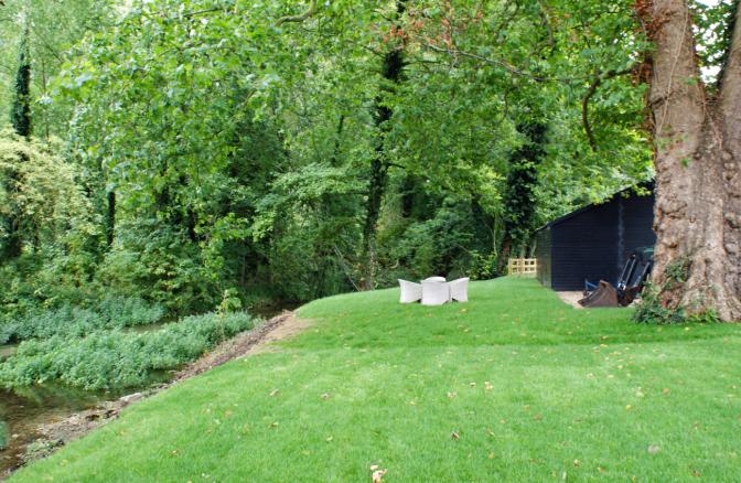
Year Taken: 2014
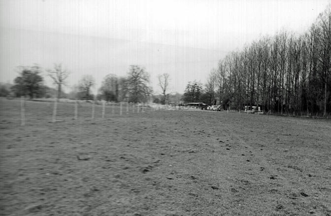
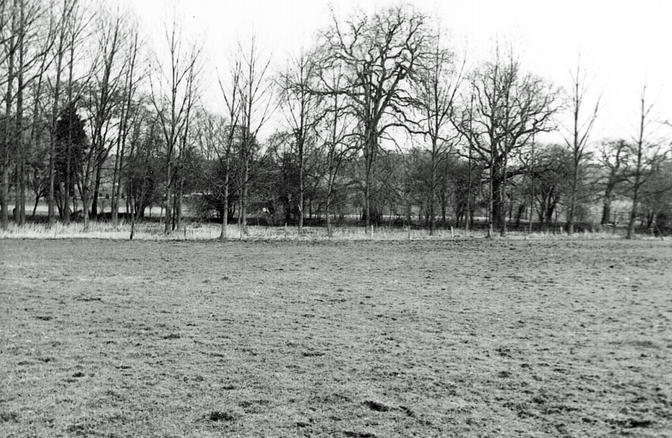
Year Taken: 1982
south
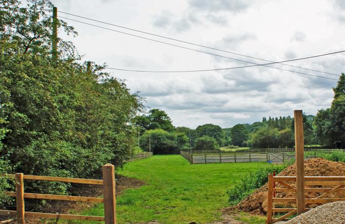
Year Taken: 2014
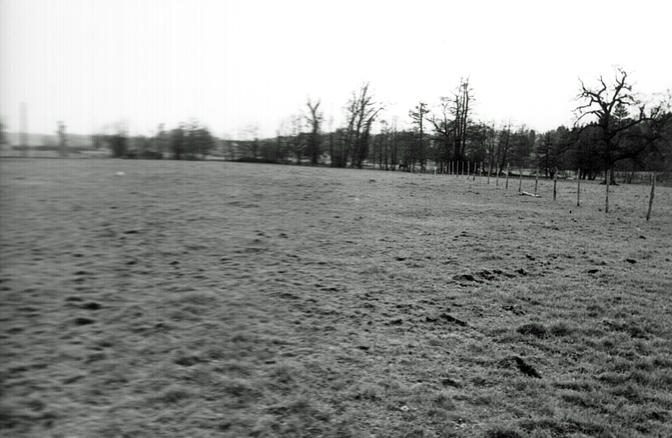
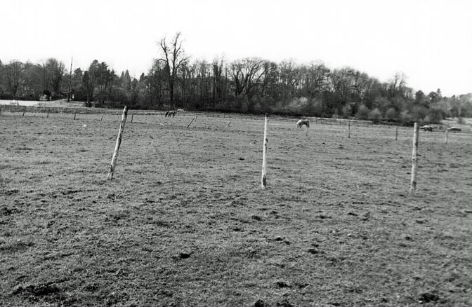
Year Taken: 1982
east
Year Taken: 2014
Year Taken: 1982
west

Year Taken: 2014
Year Taken: 1982